


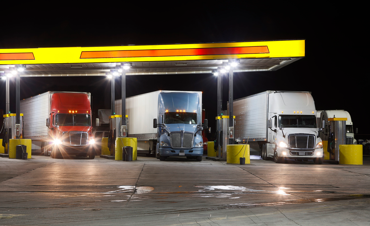
Fresno’s new truck route map for the southwest part of town will not be approved until at least next month.
The Fresno City Council had been scheduled to consider the new map on Thursday but tabled it until Sep. 26 at the earliest.
The backstory: Former Gov. Jerry Brown signed Assembly Bill 617 into law in 2017, which requires local air districts to protect communities impacted by air pollution.
- That led to the creation of a community steering committee by the San Joaquin Valley Air Pollution Control District, which identified the need to reroute heavy truck traffic away from sensitive areas, including homes, schools and parks.
- Fresno partnered with the Air District to initiate a study to evaluate the truck network and a possible reroute to improve community safety.
The big picture: The city’s proposed plan would eliminate around 43 miles of designated truck routes.
- It would also add 3.6 miles of new truck routes as part of the reroute. A list of the proposed routes to be removed and added can be found at the bottom of this article.
- The new map would also have 16 square miles of truck bypass restriction zones.
- Consideration of the new map was moved to Sep. 26 by Councilmembers Mike Karbassi and Miguel Arias and city staff.
Business opposition: While the city did not give a reason for tabling the map until late September, the city received letters from southwest Fresno business groups opposing its approval.
- INVEST Fresno, which represents many local businesses, the Fresno Chamber of Commerce, the Central Valley Business Federation and over a dozen groups and businesses signed onto a letter asking the council to reconsider.
- The letter said the proposed map would put many jobs and critical tax revenue at risk, highlighting the removal of Central Ave. as a truck route as specifically detrimental.
- “Central Avenue is the primary route for two of the City’s largest sales tax revenue generations and job providers,” the letter reads. “According to the City’s budget, just two of the distribution centers located along Central Avenue generate roughly $30 million in sales tax revenue annually and nearly 8,000 jobs, all of which bolsters the City’s General Fund.”
Look at the proposed map here:


| Table 1: Truck Routes to be Removed | |
| STREET | LIMITS |
| A ST | Trinity St – Snow Ave |
| AMADOR ST | Teilman Ave – A St |
| B ST | Cesar Chavez Blvd – California Ave |
| B ST | Trinity Ave – Fresno St |
| BROADWAY ST | Cesar Chavez Blvd – San Benito St |
| BUTLER AVE | East Ave – Cedar Ave |
| CESAR CHAVEZ BLVD | West Ave – C St |
| CALIFORNIA AVE | G St – Cherry Ave |
| CEDAR AVE | Church Ave – Jensen Bypass |
| CENTRAL AVE | Elm Ave – Cedar Ave |
| CHERRY AVE | North Ave – Central Ave |
| CHESTNUT AVE | Belmont Ave to North Ave |
| CHURCH AVE | SR 41 limit – West Ave |
| DIVISADERO ST | Echo Ave – G St |
| E ST | El Dorado St – Fresno St |
| ELM AVE | California Ave – Central Ave |
| FRESNO ST | B St – SR 99 |
| FRESNO ST | G St – H St |
| G ST | Divisadero St – Church Ave |
| JENSEN AVE | SR 41 – West Ave |
| M ST | Stanislaus St – Cesar Chavez Blvd |
| MARKS AVE | Kearney Blvd – Cesar Chavez Blvd |
| NORTH AVE | Walnut Ave – SR 41 |
| NORTH AVE | Maple Ave – Peach Ave |
| O ST | Divisadero St – Stanislaus St |
| P ST | Tuolumne St – O St |
| PALM AVE | McKinley Ave – Belmont Ave |
| RAILROAD AVE | California Ave – Golden State Blvd |
| ROOSEVELT | H St – Divisadero St |
| STANISLAUS ST | B St – Divisadero St |
| THORNE AVE | Whitesbridge Ave – Kearney Blvd |
| TULARE ST | 1st St – Cedar Ave |
| TUOLUMNE ST | A St – G St |
| WALNUT AVE | Church Ave – North Ave |
| WEST AVE | McKinley Ave – Weber Ave |
| WEST AVE | Cesar Chavez Blvd – Jensen Ave |
| WHITESBRIDGE AVE | Brawley Ave – Trinity St |
| Table 2: Truck Routes to be Added | |
| STREET | LIMITS |
| CALIFORNIA AVE | Van Ness Ave – Cedar Ave |
| CENTRAL AVE | Cedar Ave – Maple Ave |
| E ST | Fresno St – Cesar Chavez Blvd |
| FRESNO ST | G St – H St |
| H ST | Divisadero St – Fulton Ave |
| WEST AVE | Golden State Boulevard – Olive Ave |